Explore Bagerhat District: A Journey Through History, Culture, and Nature
Located in southwestern Bangladesh, Bagerhat District is a fascinating place with a rich history, lively culture, and beautiful landscapes. It forms part of the Khulna Division and is known for its historical significance and scenic beauty.
Geography
Spanning over 3,959 square kilometers, Bagerhat is surrounded by Gopalganj and Narail Districts to the north, the Bay of Bengal to the south, and Khulna District to the west. The district is filled with rivers such as the Panguchi, Daratana, Madhumati, Pasur, Haringhata, Mongla, Baleshwar, Bangra, and Goshairkhali. These rivers make the area green and beautiful, adding to its charm.
History
Bagerhat city is famous for its mosques. Muslim saint Khan Jahan Ali founded this town. He was a saint of the 15th century, possibly of Turkic origin. At the time of his reign, Bagerhat was a part of the Sundarbans. He cleared the forest and made it habitable. He named it “Khalifabad”. His legacy includes numerous mosques, tanks, and administrative buildings, although these are now mostly in ruins. The city of Bagerhat has been given the status of a World Heritage Site by UNESCO in 1973.

Khan Jahan Ali was a truly remarkable figure. He wasn’t just a military leader—he was also a spiritual guide who really earned the respect of everyone he met. His vision and leadership made a huge difference, transforming the region and driving major growth that still impacts the area today. His initial settlement, Barobazar, was a Hindu-Buddhist town called Champanagar. As a Sufi, Khan Jahan Ali was known for his ability to attract people to his spiritual teachings. Although people still debate why he founded the mosque city, many believe he wanted to create a peaceful place where people could escape negativity and find true calm and spiritual fulfillment.
Today, Khan Jahan Ali is still highly regarded in Bangladesh. Monuments and memorials have been built to remember him. His first settlement, Barobazar, was once called Champanagar, a Hindu-Buddhist town named after earlier saints. This highlights the deep respect he had for the religious figures both before and during his time.
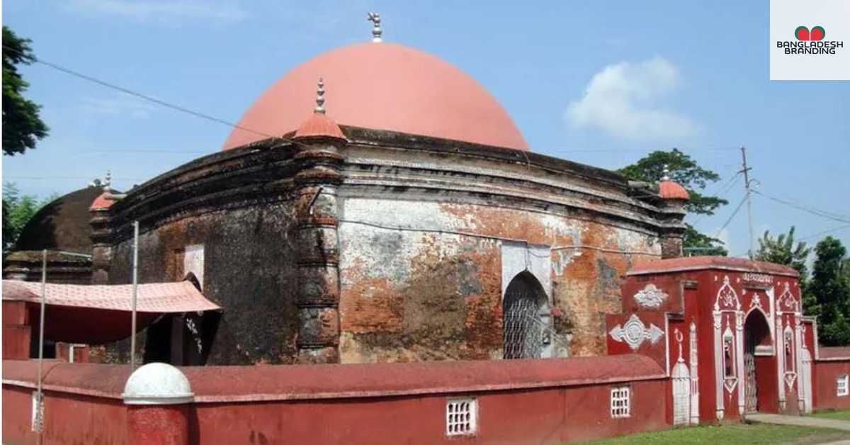
His tomb, the only structure still showcasing the original dome architecture, remains a place of pilgrimage and reverence, surrounded by colorful, geometric tiles and inscriptions from the Quran.
The soil in the area was really good because of the rivers like the Ganga and Brahmaputra. This made farming and trade very successful. Bagerhat became a busy place where people grew and traded important things like cotton, cloth, rice, betel leaf, and coconut. These products were crucial for the local economy.
This religious site was known to be sacred, and some believed it was supernatural. People would come to drink the water from the man-made pond for its healing properties. Another supernatural belief was that General Khan used supernatural powers to create the structures because it was hard to understand how they were built at the time.
The city’s decline began after Khan Jahan Ali’s death. Even though Bagerhat was abandoned a long time ago, it’s still important for studying Islamic history and life in the 15th century. Sultan Ghiyasuddin Mahmud Shah later renamed the city Khalifatabad, which has confused some historians. But knowing that Bagerhat and Khalifatabad are the same place helps clear up the confusion
Demographics
According to the 2022 Census of Bangladesh, Bagerhat District has a population of 1,613,076, spread across 408,840 households. The district has 407 people per square kilometer and a literacy rate of 81.42%, which is above the national average.
Religion
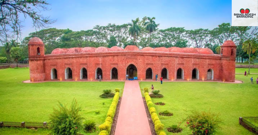
The district of Bagerhat consists of 7,815 mosques, 238 temples, 17 churches, and seven tombs. The Sixty Domes Mosque or Shat Gambuj Masjid is a famous mosque. Khan Jahan Ali’s tomb is famous. Islam is the major religion with 83.25% population, while Hindus constitute 16.38% of the population.
Economy
The Port of Mongla, right in Bagerhat District, is a vital part of Bangladesh’s economy and one of the country’s main sea ports. In addition, the upazilas of Rampal and Fakirhat are famous for their large shrimp farms, which are crucial for the local economy and help bring in money from abroad.
Points of interest Mosque City of Bagerhat

- Ramakrishna Ashrama
- Shait Gambuz Mosque
- Ghora Dighi
- Sona Mosque
- Ten Domes Mosque
- One Dome Mosque
- Pacha Dighi
- Khan Jahan Ali’s Tomb Complex
- Khan Jahan Ali’s Tank
- Port of Mongla
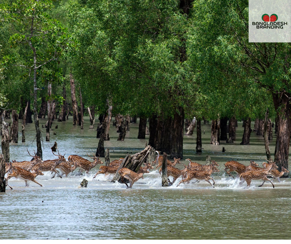
- Sundarban
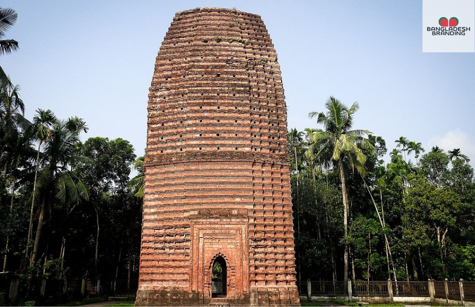
- Kodla Moth or Ayodha Moth
- Kuthi Bari
- Durgapur Shiva Moth
- Sundarban Resort, Barakpur
- Chandramahol, Ronjitpur
- Dohajari Shib Bari, Fakirhat
- Rajbari Of Bangram

Administration
Bagerhat is divided into 9upazilas, 78 union parishads, 1031 villages, 689 mouzas, 3 municipalities, 28 wards, and 57 mahallas. The upazilas are:
- Bagerhat Sadar Upazila
- Chitalmari Upazila
- Fakirhat Upazila
- Kachua Upazila
- Mollahat Upazila
- Mongla Upazila
- Morrelganj Upazila
- Rampal Upazila
- Sarankhola Upazila
Transport
Traveling to Bagerhat from Dhaka is most conveniently done by bus, taking three to five hours. Alternatively, you can fly to Jessore airport and continue by bus. While train connections to Khulna once existed, they are no longer operational.
Bagerhat District, with its blend of historical allure, cultural depth, and scenic charm, offers a unique glimpse into Bangladesh’s rich heritage and vibrant present.

