
Garo Hills Jamalpur is the green, hilly north-eastern edge of Bakshiganj upazila, where the district meets the Indian state of Meghalaya. Banglapedia places the Garo Hills in that corner of the upazila and lists a “Goro hill” among its tourist spots. This guide to Garo Hills Jamalpur explains what the landscape and community are like, how to stay safe near a border, and how to visit without turning anyone’s home into a tourist stop.
What Garo Hills Jamalpur Looks Like
Banglapedia says Bakshiganj is bounded by Meghalaya on the north and that the Garo Hills lie in the north-eastern part of the upazila. The same entry lists a picnic spot at Lauchapara, the remnants of old indigo-planter kuthis (neelkuthis) at Nilakshmia and Charkauria, and the land port of Dhanua Kamalpur among the area’s tourist spots. Natural resources listed include stone and white clay. Most of the upazila is farmland, with paddy, jute, mustard and sugarcane among its main crops, so the hills stand out against the flat floodplain.
The People of Garo Hills Jamalpur
Jamalpur district is home to several indigenous communities, including the Garo, Hajong and Koch, according to published district profiles. Banglapedia lists the Garo as the indigenous community of Bakshiganj, and the census records a few hundred Christians in the upazila, with two churches. Published profiles also mention Garo dances at the Bigan Gala festival. Festival dates and customs vary by village and year, so ask locally before you plan around one.
Responsible Visiting in Garo Hills Jamalpur
Villages in Garo Hills Jamalpur are homes, not exhibits. Ask before you photograph people, homes or religious spaces. Do not hand out money or sweets to children for photos. If you want a guide, hire a local person and pay a fair rate, and buy handmade goods or food directly from households that offer them. Take your rubbish with you.
Border and Wildlife Safety in Garo Hills Jamalpur
This is a border zone, so carry your national ID and follow local guidance at all times. Never walk toward the border line without a local guide, and do not photograph security installations. Published profiles say forest patches in the north still shelter wild elephants, so avoid forest paths near dusk and never walk alone. Local advice always beats an online guide here.
What to Photograph in Garo Hills Jamalpur
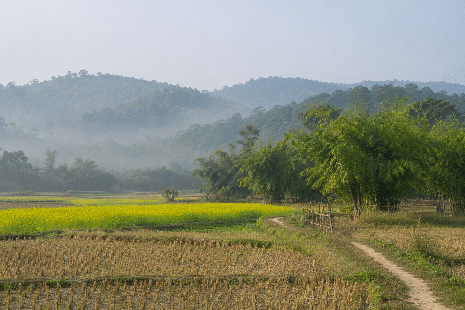
Expect low hills, forest patches, paddy and mustard fields, village paths and bamboo groves. Cool winter mornings often bring mist over the fields, which makes for soft photographs. Carry water, wear sturdy shoes and download your map before you leave, as mobile signal can weaken near the border.
Plan Your Garo Hills Jamalpur Trip
Bakshiganj lies north of Islampur and Dewanganj, so treat Garo Hills Jamalpur as a full-day trip from Jamalpur town, or stay overnight in town. Combine it with the memorial at Kamalpur and the Jamuna chars at Dewanganj for the full northern belt. Browse more places to visit in Bangladesh for the wider circuit.
Quick Facts: Garo Hills Jamalpur
- Location: north-eastern Bakshiganj upazila, Jamalpur district
- Border: Meghalaya, India, to the north
- Nearby: Lauchapara picnic spot, Kamalpur memorial, Dhanua Kamalpur land port
- Safety: border zone, carry national ID, wild elephant reports
- Best months: November to February
FAQ: Garo Hills Jamalpur
What Is Garo Hills Jamalpur Known For?
Garo Hills Jamalpur is known for its border hills, forest patches and Garo community, in the north-east of Bakshiganj upazila.
Is Garo Hills Jamalpur Safe for Tourists?
It is generally fine with local guidance, but it is a border area. Carry your national ID, avoid the border line, avoid forest paths near dusk and check local conditions before you go.
Can I Meet the Garo Community?
Only with respect and invitation. Ask locally, hire a local guide, and never treat villages as photo stops.
When Is the Best Time to Visit?
November to February is best, when the weather is cool and dry. Avoid the monsoon months because of flooding and difficult roads.